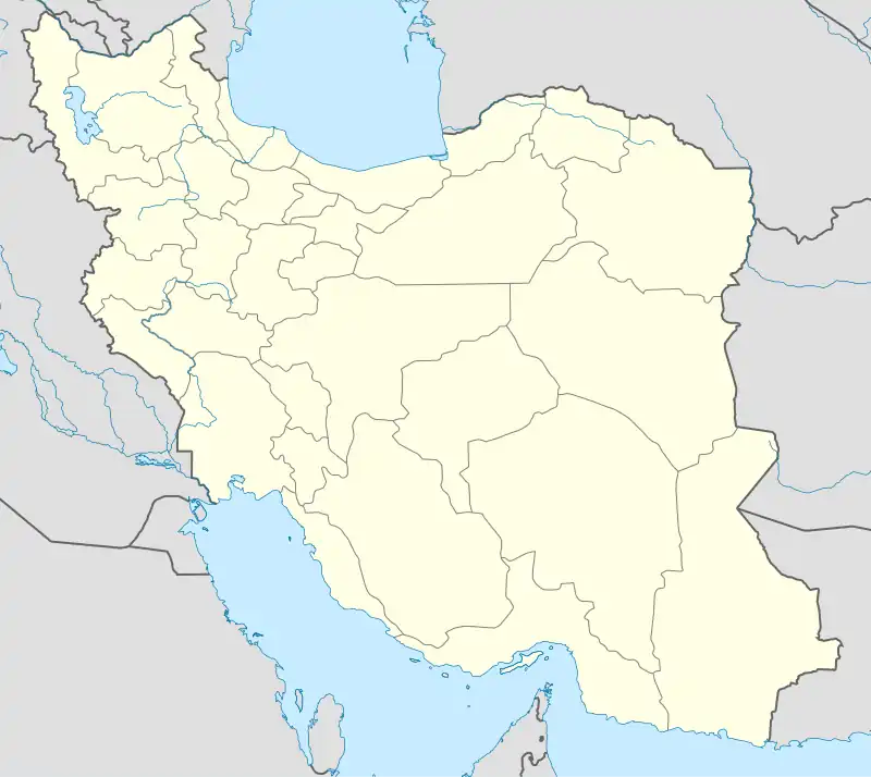
Central District (Qaem Shahr County)
Persian: بخش مرکزی شهرستان قائمشهر | |
|---|---|
 Central District (Qaem Shahr County) | |
| Coordinates: 36°28′N 52°52′E / 36.467°N 52.867°E[1] | |
| Country | |
| Province | Mazandaran |
| County | Qaem Shahr |
| Capital | Qaem Shahr |
| Population (2016)[2] | |
| • Total | 309,198 |
| Time zone | UTC+3:30 (IRST) |
The Central District of Qaem Shahr County (Persian: بخش مرکزی شهرستان قائمشهر) is in Mazandaran province, Iran. Its capital is the city of Qaem Shahr.[3]
At the National Census in 2006, its population was 275,807 in 74,907 households.[4] The following census in 2011 counted 302,417 people in 91,989 households.[5] At the latest census in 2016, the district had 309,198 inhabitants in 102,949 households.[2]
| Administrative Divisions | 2006[4] | 2011[5] | 2016[2] |
|---|---|---|---|
| Aliabad RD | 24,184 | 26,015 | 25,004 |
| Balatajan RD | 31,892 | 32,315 | 32,891 |
| Bisheh Sar RD | 14,058 | 14,797 | 4,401 |
| Kuhsaran RD | 5,486 | 5,417 | 4,907 |
| Nowkand Kola RD | 25,941 | 27,823 | 26,715 |
| Arateh (city)1 | 10,327 | ||
| Qaem Shahr (city) | 174,246 | 196,050 | 204,953 |
| Total | 275,807 | 302,417 | 309,198 |
| RD: Rural District 1Merger of several villages[6] | |||
References
- ↑ OpenStreetMap contributors (28 May 2023). "Central District (Qaem Shahr County)" (Map). OpenStreetMap. Retrieved 28 May 2023.
- 1 2 3 "Census of the Islamic Republic of Iran, 1395 (2016)". AMAR (in Persian). The Statistical Center of Iran. p. 02. Archived from the original (Excel) on 7 October 2021. Retrieved 19 December 2022.
- ↑ Habibi, Hassan (21 June 1369). "Approval of the organization and chain of citizenship of the elements and units of the divisions of Mazandaran province, centered in Sari city". Lamtakam (in Persian). Ministry of Interior, Defense Political Commission of the Government Council. Archived from the original on 14 January 2024. Retrieved 14 January 2024.
- 1 2 "Census of the Islamic Republic of Iran, 1385 (2006)". AMAR (in Persian). The Statistical Center of Iran. p. 02. Archived from the original (Excel) on 20 September 2011. Retrieved 25 September 2022.
- 1 2 "Census of the Islamic Republic of Iran, 1390 (2011)". Syracuse University (in Persian). The Statistical Center of Iran. p. 02. Archived from the original (Excel) on 19 January 2023. Retrieved 19 December 2022.
- ↑ "Two new cities were added to the map of country divisions". DOLAT (in Persian). Ministry of Interior. 4 August 2019. Archived from the original on 3 August 2020. Retrieved 27 May 2023.
This article is issued from Wikipedia. The text is licensed under Creative Commons - Attribution - Sharealike. Additional terms may apply for the media files.