Châteauredon
| |
|---|---|
.JPG.webp) The chapel of Saint-Michel of Cousson | |
 Coat of arms | |
Location of Châteauredon | |
 Châteauredon 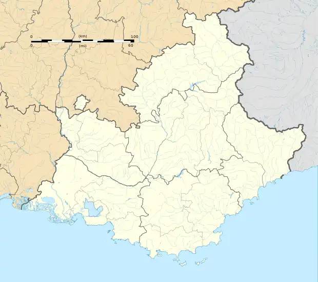 Châteauredon | |
| Coordinates: 44°00′55″N 6°12′55″E / 44.0153°N 6.2153°E | |
| Country | France |
| Region | Provence-Alpes-Côte d'Azur |
| Department | Alpes-de-Haute-Provence |
| Arrondissement | Digne-les-Bains |
| Canton | Riez |
| Intercommunality | CA Provence-Alpes |
| Government | |
| • Mayor (2020–2026) | Sandrine Nebes[1] |
| Area 1 | 10.53 km2 (4.07 sq mi) |
| Population | 71 |
| • Density | 6.7/km2 (17/sq mi) |
| Time zone | UTC+01:00 (CET) |
| • Summer (DST) | UTC+02:00 (CEST) |
| INSEE/Postal code | 04054 /04270 |
| Elevation | 573–1,511 m (1,880–4,957 ft) (avg. 613 m or 2,011 ft) |
| 1 French Land Register data, which excludes lakes, ponds, glaciers > 1 km2 (0.386 sq mi or 247 acres) and river estuaries. | |
Châteauredon (French: [ʃɑtoʁədɔ̃]; Occitan: Castèuredon) is a commune in the Alpes-de-Haute-Provence department in southeastern France.
Geography
The river Asse forms all of the commune's southeastern border.
Population
| Year | Pop. | ±% p.a. |
|---|---|---|
| 1968 | 40 | — |
| 1975 | 40 | +0.00% |
| 1982 | 56 | +4.92% |
| 1990 | 67 | +2.27% |
| 1999 | 96 | +4.08% |
| 2009 | 94 | −0.21% |
| 2014 | 73 | −4.93% |
| 2020 | 73 | +0.00% |
| Source: INSEE[3] | ||
See also
References
- ↑ "Répertoire national des élus: les maires" (in French). data.gouv.fr, Plateforme ouverte des données publiques françaises. 13 September 2022.
- ↑ "Populations légales 2021". The National Institute of Statistics and Economic Studies. 28 December 2023.
- ↑ Population en historique depuis 1968, INSEE
Wikimedia Commons has media related to Châteauredon.
This article is issued from Wikipedia. The text is licensed under Creative Commons - Attribution - Sharealike. Additional terms may apply for the media files.