Montclar | |
|---|---|
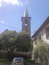 The church of Saint-Michel, in Serre Nauzet | |
 Coat of arms | |
Location of Montclar | |
 Montclar 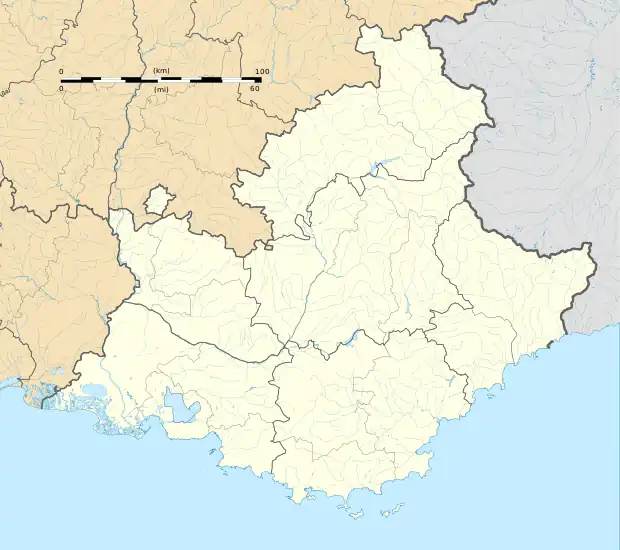 Montclar | |
| Coordinates: 44°23′52″N 6°20′18″E / 44.3978°N 6.3383°E | |
| Country | France |
| Region | Provence-Alpes-Côte d'Azur |
| Department | Alpes-de-Haute-Provence |
| Arrondissement | Digne-les-Bains |
| Canton | Seyne |
| Intercommunality | CA Provence-Alpes |
| Government | |
| • Mayor (2020–2026) | Béatrice Savornin[1] |
| Area 1 | 23.38 km2 (9.03 sq mi) |
| Population | 399 |
| • Density | 17/km2 (44/sq mi) |
| Time zone | UTC+01:00 (CET) |
| • Summer (DST) | UTC+02:00 (CEST) |
| INSEE/Postal code | 04126 /04140 |
| Elevation | 1,082–2,500 m (3,550–8,202 ft) (avg. 1,120 m or 3,670 ft) |
| 1 French Land Register data, which excludes lakes, ponds, glaciers > 1 km2 (0.386 sq mi or 247 acres) and river estuaries. | |
Montclar (French pronunciation: [mɔ̃klaʁ] ⓘ) is a commune in the Alpes-de-Haute-Provence department in southeastern France.
Population
| Year | Pop. | ±% p.a. |
|---|---|---|
| 1968 | 204 | — |
| 1975 | 220 | +1.08% |
| 1982 | 258 | +2.30% |
| 1990 | 327 | +3.01% |
| 1999 | 399 | +2.24% |
| 2009 | 460 | +1.43% |
| 2014 | 427 | −1.48% |
| 2020 | 403 | −0.96% |
| Source: INSEE[3] | ||
See also
References
- ↑ "Répertoire national des élus: les maires". data.gouv.fr, Plateforme ouverte des données publiques françaises (in French). 2 December 2020.
- ↑ "Populations légales 2021". The National Institute of Statistics and Economic Studies. 28 December 2023.
- ↑ Population en historique depuis 1968, INSEE
Wikimedia Commons has media related to Montclar, Alpes-de-Haute-Provence.
This article is issued from Wikipedia. The text is licensed under Creative Commons - Attribution - Sharealike. Additional terms may apply for the media files.