Kakraha | |
|---|---|
Village | |
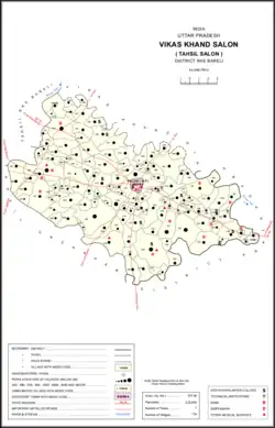 Map showing Kakraha (#452) in Salon CD block | |
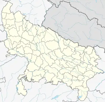 Kakraha Location in Uttar Pradesh, India | |
| Coordinates: 26°02′53″N 81°26′00″E / 26.047976°N 81.433226°E[1] | |
| Country | |
| State | Uttar Pradesh |
| District | Raebareli |
| Area | |
| • Total | 1.033 km2 (0.399 sq mi) |
| Population (2011)[2] | |
| • Total | 331 |
| • Density | 320/km2 (830/sq mi) |
| Languages | |
| • Official | Hindi |
| Time zone | UTC+5:30 (IST) |
| Vehicle registration | UP-35 |
Kakraha is a village in Salon block of Rae Bareli district, Uttar Pradesh, India.[2] As of 2011, it has a population of 331 people, in 57 households.[2] It has no schools and no healthcare facilities, and it does not host a permanent market or a periodic haat.[2]
The 1961 census recorded Kakraha as comprising 2 hamlets, with a total population of 118 people (64 male and 54 female), in 28 households and 28 physical houses.[3] The area of the village was given as 268 acres.[3]
The 1981 census recorded Kakraha as having a population of 157 people, in 45 households, and having an area of 105.62 hectares.[4] The main staple foods were given as wheat and juwar.[4]
References
- ↑ "Geonames Search". Do a radial search using these coordinates here.
- 1 2 3 4 5 "Census of India 2011: Uttar Pradesh District Census Handbook - Rae Bareli, Part A (Village and Town Directory)" (PDF). Census 2011 India. pp. 427–51. Retrieved 8 October 2021.
- 1 2 Census 1961: District Census Handbook, Uttar Pradesh (39 - Raebareli District) (PDF). Lucknow. 1965. pp. cvi-cvii of section "Salon Tahsil". Retrieved 8 October 2021.
{{cite book}}: CS1 maint: location missing publisher (link) - 1 2 Census 1981 Uttar Pradesh: District Census Handbook Part XIII-A: Village & Town Directory, District Rae Bareli (PDF). 1982. pp. 216–7. Retrieved 8 October 2021.
This article is issued from Wikipedia. The text is licensed under Creative Commons - Attribution - Sharealike. Additional terms may apply for the media files.