Mikófalva | |
|---|---|
Village (község) | |
 Coat of arms | |
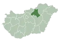 Location of Heves County in Hungary | |
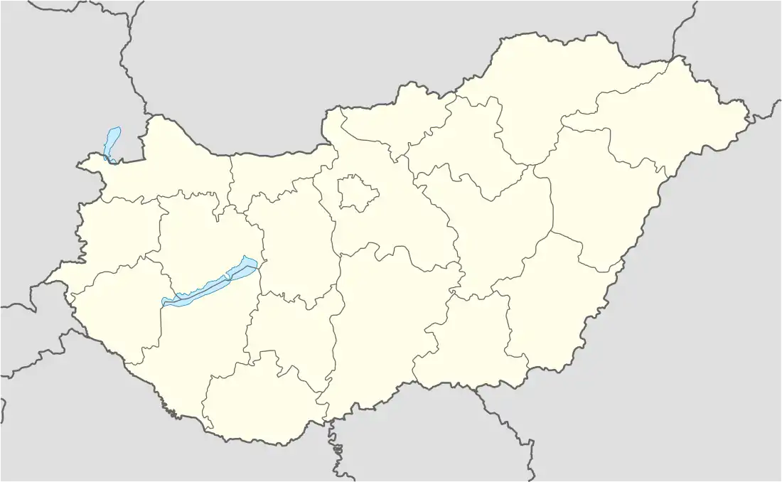 Mikófalva Location in Hungary | |
| Coordinates: 48°03′18″N 20°19′12″E / 48.05500°N 20.32000°E | |
| Country | Hungary |
| Region | Northern Hungary |
| County | Heves County |
| District | Bélapátfalva |
| Government | |
| • Mayor | Fónagy Gergely (Ind.) |
| Area | |
| • Total | 14.41 km2 (5.56 sq mi) |
| Population (2015) | |
| • Total | 698 |
| • Density | 48/km2 (130/sq mi) |
| Time zone | UTC+1 (CET) |
| • Summer (DST) | UTC+2 (CEST) |
| Postal code | 3344 |
| Area code | 36 |
| Website | http://www.mikofalva.hu/ |
Mikófalva is a village in Heves County, Hungary.[1]
References
- ↑ "Central Statistical Office". KSH. Retrieved 22 December 2017.
| Town (1) |
| |
|---|---|---|
| Villages (7) | ||

This article is issued from Wikipedia. The text is licensed under Creative Commons - Attribution - Sharealike. Additional terms may apply for the media files.