Tófalu | |
|---|---|
Village (község) | |
 | |
 Coat of arms | |
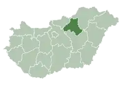 Location of Heves County in Hungary | |
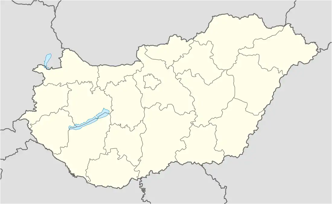 Tófalu Location in Hungary | |
| Coordinates: 47°46′34″N 20°14′13″E / 47.77611°N 20.23694°E | |
| Country | Hungary |
| Region | Northern Hungary |
| County | Heves County |
| District | Füzesabony |
| First mentioned | 1352 |
| Government | |
| • Mayor | Ignácz Szabolcs András (Ind.) |
| Area | |
| • Total | 14.48 km2 (5.59 sq mi) |
| Population (2015) | |
| • Total | 576 |
| • Density | 40/km2 (100/sq mi) |
| Time zone | UTC+1 (CET) |
| • Summer (DST) | UTC+2 (CEST) |
| Postal code | 3354 |
| Area code | 36 |
| Website | http://www.tofalu.hu/ |
Tófalu is a village in Heves County, Hungary.[1]
35 Jews lived in the village in 1880[2] and in 1944 about 20 of them were murdered in the Holocaust of the Jews of Hungary.[3]
In 1950 the village merged with the village of Aldebrő and was called Tódebrő. In 1958 each village returned to its independence.[4]
References
- ↑ "Central Statistical Office". KSH. Retrieved 22 December 2017.
- ↑ Census of Hungarian Jewry
- ↑ Documentation of the village's Jews murdered in the Holocaust
- ↑ Hungarian Central Statistical
| Town (1) |
| |
|---|---|---|
| Large village (1) | ||
| Villages (14) | ||

This article is issued from Wikipedia. The text is licensed under Creative Commons - Attribution - Sharealike. Additional terms may apply for the media files.