Anjouin | |
|---|---|
_-_%C3%89glise_Saint-Martin_-_clocher.jpg.webp) The bell tower of the church of Saint-Martin, in Anjouin | |
Location of Anjouin | |
 Anjouin 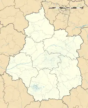 Anjouin | |
| Coordinates: 47°11′25″N 1°48′06″E / 47.1903°N 1.8017°E | |
| Country | France |
| Region | Centre-Val de Loire |
| Department | Indre |
| Arrondissement | Issoudun |
| Canton | Valençay |
| Intercommunality | Chabris - Pays de Bazelle |
| Government | |
| • Mayor (2020–2026) | Jacques-Henri Lepreux[1] |
| Area 1 | 28.91 km2 (11.16 sq mi) |
| Population | 316 |
| • Density | 11/km2 (28/sq mi) |
| Time zone | UTC+01:00 (CET) |
| • Summer (DST) | UTC+02:00 (CEST) |
| INSEE/Postal code | 36004 /36210 |
| Elevation | 94–151 m (308–495 ft) (avg. 114 m or 374 ft) |
| 1 French Land Register data, which excludes lakes, ponds, glaciers > 1 km2 (0.386 sq mi or 247 acres) and river estuaries. | |
Anjouin (French pronunciation: [ɑ̃ʒwɛ̃]) is a commune in the Indre department in central France.
Population
| Year | Pop. | ±% p.a. |
|---|---|---|
| 1968 | 435 | — |
| 1975 | 380 | −1.91% |
| 1982 | 405 | +0.91% |
| 1990 | 348 | −1.88% |
| 1999 | 339 | −0.29% |
| 2009 | 346 | +0.20% |
| 2014 | 336 | −0.58% |
| 2020 | 318 | −0.91% |
| Source: INSEE[3] | ||
See also
References
- ↑ "Répertoire national des élus: les maires" (in French). data.gouv.fr, Plateforme ouverte des données publiques françaises. 13 September 2022.
- ↑ "Populations légales 2021". The National Institute of Statistics and Economic Studies. 28 December 2023.
- ↑ Population en historique depuis 1968, INSEE
Wikimedia Commons has media related to Anjouin.
This article is issued from Wikipedia. The text is licensed under Creative Commons - Attribution - Sharealike. Additional terms may apply for the media files.