Saint-Gilles | |
|---|---|
_-_Eglise.JPG.webp) The church in Saint-Gilles | |
Location of Saint-Gilles | |
 Saint-Gilles 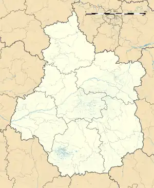 Saint-Gilles | |
| Coordinates: 46°29′45″N 1°26′44″E / 46.4958°N 1.4456°E | |
| Country | France |
| Region | Centre-Val de Loire |
| Department | Indre |
| Arrondissement | Le Blanc |
| Canton | Saint-Gaultier |
| Government | |
| • Mayor (2020–2026) | Spike Groën[1] |
| Area 1 | 7.68 km2 (2.97 sq mi) |
| Population | 94 |
| • Density | 12/km2 (32/sq mi) |
| Time zone | UTC+01:00 (CET) |
| • Summer (DST) | UTC+02:00 (CEST) |
| INSEE/Postal code | 36196 /36170 |
| Elevation | 162–259 m (531–850 ft) (avg. 210 m or 690 ft) |
| 1 French Land Register data, which excludes lakes, ponds, glaciers > 1 km2 (0.386 sq mi or 247 acres) and river estuaries. | |
Saint-Gilles (French pronunciation: [sɛ̃ ʒil]) is a commune in the Indre department in central France.
Geography
The river Abloux forms most of the commune's eastern border.
Population
| Year | Pop. | ±% p.a. |
|---|---|---|
| 1968 | 185 | — |
| 1975 | 185 | +0.00% |
| 1982 | 147 | −3.23% |
| 1990 | 135 | −1.06% |
| 1999 | 133 | −0.17% |
| 2009 | 107 | −2.15% |
| 2014 | 110 | +0.55% |
| 2020 | 95 | −2.41% |
| Source: INSEE[3] | ||
See also
References
- ↑ "Répertoire national des élus: les maires". data.gouv.fr, Plateforme ouverte des données publiques françaises (in French). 9 August 2021.
- ↑ "Populations légales 2021". The National Institute of Statistics and Economic Studies. 28 December 2023.
- ↑ Population en historique depuis 1968, INSEE
Wikimedia Commons has media related to Saint-Gilles (Indre).
This article is issued from Wikipedia. The text is licensed under Creative Commons - Attribution - Sharealike. Additional terms may apply for the media files.